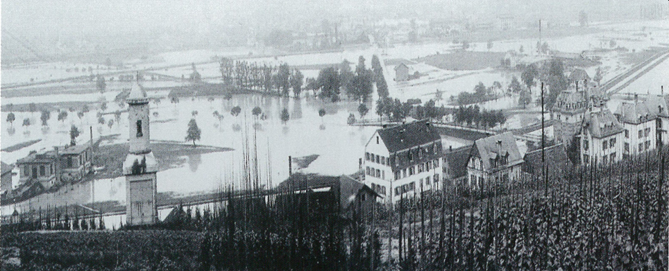
Implementation of the hazard map for the City of Zurich
Zurich, Switzerland
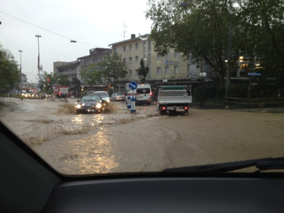
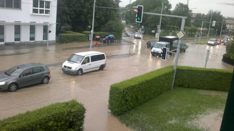
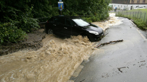
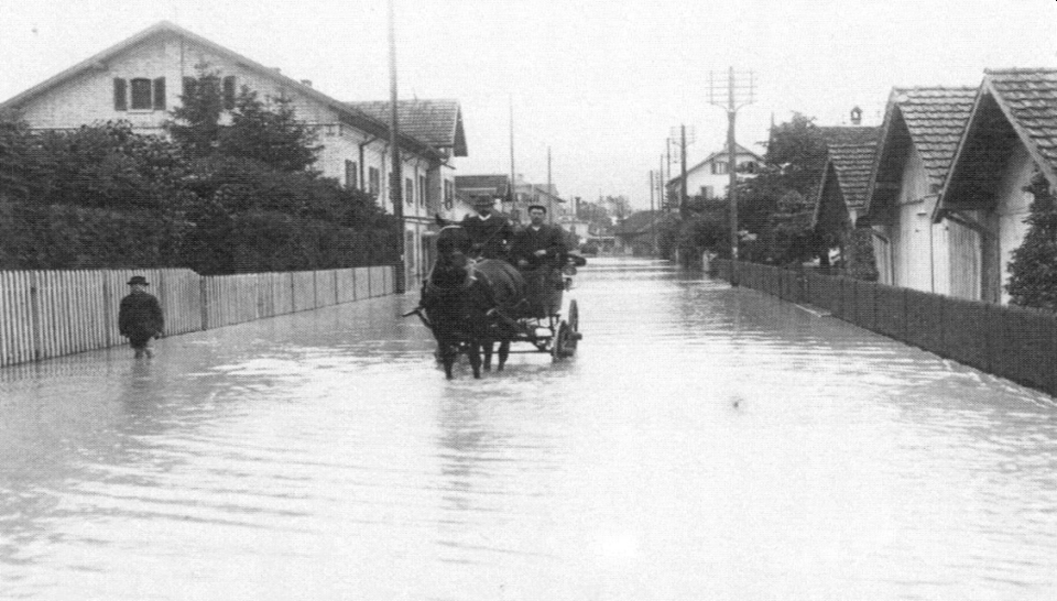
The city of Zurich is one of the three areas in Switzerland with the greatest flood risk. The primary threat comes from flooding on the Sihl and Limmat rivers, but many of the numerous smaller city streams can also overflow during floods and cause considerable damage. On slopes, surface run-off due to heavy precipitation can also cause major damage to infrastructure and buildings. Occasionally, there is an increased risk of damage due to landslides. In order to reduce the risk of natural hazards, the canton of Zurich’s Department of Planning and Construction issued hazard maps for the city of Zurich in 2009/2010 and commissioned the city to implement them.
TBF is supporting the broad-based organisation of implementation (lead: Civil Engineering Office of the city of Zurich) with technical and administrative support in project set-up and project management, and is advising the city of Zurich on the subject of natural hazards.

